

 Riecker Chiropractic


SPECIAL WX STATEMENT - Sub-Zero Wind Chills Overnight
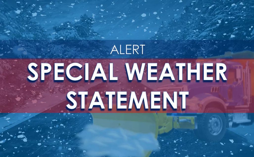
Special Weather Statement issued January 24 at 2:13PM EST by NWS Louisville KY
Areas Affected: Casey; Clark; Orange; Harrison; Marion; Hart; Shelby; Crawford; Warren; Bullitt; Russell; Washington; Adair; Taylor; Jessamine; Larue; Jefferson; Edmonson; Henry; Hardin; Meade; Perry; Harrison; Bourbon; Logan; Cumberland; Nelson; Madison; Barren; Woodford; Metcalfe; Breckinridge; Butler; Grayson; Trimble; Scott; Spencer; Washington; Green; Nicholas; Garrard; Allen; Clinton; Floyd; Hancock; Fayette; Boyle; Oldham; Ohio; Monroe; Jefferson; Scott; Mercer; Simpson; Clark; Franklin; Anderson; Dubois; Lincoln
A strong cold front is forecast to move through the region this evening, bringing gusty northwesterly winds and bitterly cold temperatures. By tomorrow morning near sunrise, wind chills across portions of southern Indiana will be in the -5 to -10 degree range. Wind chills this cold can cause frostbite in 30 minutes on exposed skin.
Farther south into central Kentucky, wind chills will range in the 5 to -5 degree range. Be sure to bundle up and cover any exposed skin if you plan to be outside tomorrow morning.
Scattered flurries and very light snow showers will also be possible behind the front this evening, and could produce a dusting of snow in spots.