

 Riecker Chiropractic


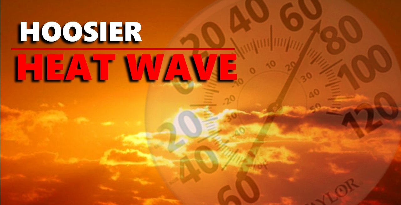
Hoosier Heatwave to Continue Through the Week, Take Precautions
BY: DAVID SHEPHERD, NEWS DIRECTOR / FORECASTER
AREA-WIDE -- The National Weather Service has issued a Special Weather Statement for the entire listening area.
The combination of high temperatures in the low to mid 90s, and high humidity will lead to peak heat index values in the upper 90sand low 100s this afternoon and again Wednesday afternoon.
The highest values in the 100 to 104 degree range will mainly be west of I-65 and north of I-64.
National Weather Service Meteorologist Jason Puma says that heat is going to last all week, with chances of rain and thunderstorms every afternoon.
However, Puma says, these storms will be the usual storms that normally happen after daytime heating.
In addition, Puma says, the heat index, which measures both heat and humidity, indicates that the combination of both throughout the course of this week will result in some muggy, uncomfortable weather.
Puma adds that, during a heat wave, the most vulnerable populations are the elderly, young children and people who work outside for long periods of time.
"You'll want to just watch your outdoor activity, make sure you stay hydrated, remember to drink lots of water, use sunscreen when you're outside, and remember to take some breaks and spend some time in air conditioning," Puma said.
In addition, wear light and loose clothing and take breaks. Some relief may occur in spots with pop up thunderstorms each afternoon.